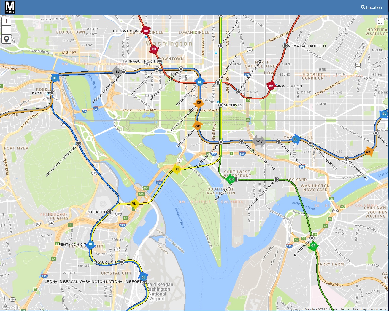
Washington DC Metro interactive, real-time, by WMATA enterprise Geographic Information System.
https://gis.wmata.com/live/

Tools :
- Train Info
- Last Update
- Line
- Destination
- Min
WMATA, or the Washington Metropolitan Area Transit Authority, is the agency responsible for operating the public transit systems in the Washington, D.C. metropolitan area. Here is some information about WMATA:
Public Transit Services: WMATA operates a comprehensive public transit system serving the Washington, D.C. metropolitan region, including the District of Columbia, Maryland, and Virginia. The system consists of Metrorail (subway) and Metrobus services.
Metrorail (Subway): Metrorail is a rapid transit system that includes six color-coded rail lines serving the D.C. metropolitan area. It provides a convenient means of transportation for commuters, tourists, and residents within the region.
Metrobus: WMATA's Metrobus network consists of hundreds of bus routes that connect various neighborhoods and communities throughout the metropolitan area. Metrobus is a vital component of the region's public transit system.
Accessibility: WMATA is committed to providing accessible transportation for individuals with disabilities. Metrorail stations and Metrobus services are equipped with accessibility features to accommodate passengers with mobility challenges.
SmartTrip Card: WMATA uses the SmarTrip card, a contactless smart card, as a convenient way for passengers to pay for fares on both Metrorail and Metrobus. Riders can load value onto the card and tap it at fare gates or on buses for easy access.
Rider Information: WMATA offers rider information through its website and mobile apps. Passengers can access real-time information about train and bus schedules, service alerts, and disruptions.
Safety and Security: WMATA places a strong emphasis on safety and security. The agency has implemented various safety measures and initiatives to ensure the well-being of passengers.
Fare Policies: WMATA has specific fare policies, including peak and off-peak fares for Metrorail, as well as various fare options such as daily, weekly, and monthly passes. Riders can check WMATA's website for the most up-to-date fare information.
Transit Planning: WMATA plays a crucial role in regional transit planning, working with local jurisdictions to expand and improve public transit services to meet the needs of the growing metropolitan area.
GIS (Geographic Information System): WMATA may use GIS technology to collect, analyze, and manage geographic data related to its transit operations. GIS can help in route planning, asset management, and service optimization.
![]() gis.wmata
gis.wmata 


