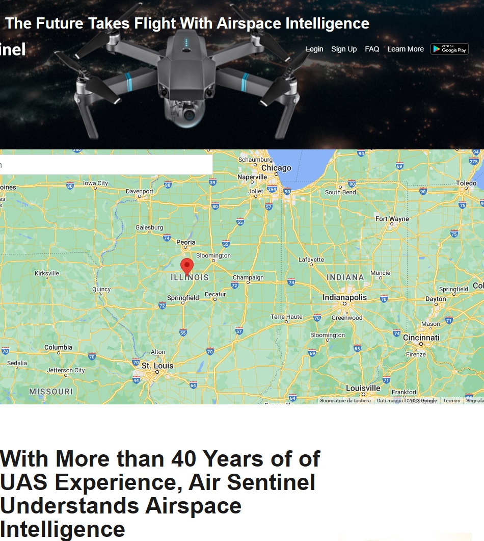
Air Sentinel is an App for mobile phones that works only with Android and not with Apple, and allows tracking the flight of drones transmitting the EASA Remote ID signal.
This is the App logo that appears on your phone:

As of January 1, 2024, all drones are required to send this signal, which enables immediate tracking to control bodies and law enforcement agencies.
Exceptions:
- Drone weighing less than 250 grams in A1 and unmarked.
- Drone weighing more than 250 grams in A3 in Open
Please note: Dji drones even without marking transmit a signal called Aeroscope, which cannot be disabled by the user. This signal can be picked up from miles away. This signal can be picked up kilometers away and received by the Aeroscope 8 or Aeroscope 16 system sold by Dji.
As a reminder, at the 2022 Imola F1 Grand Prix, Italy, as many as 14 drones were intercepted and seized because they were flying over the race track in the "No Fly Zone" space specially established by the Civil Aviation Authority in Italy, ENAC.

Scopo. The primary goal of Air Sentinel is to provide a means for authorities and other airspace users to identify and track drones in real-time, improving both personal safety and the safety of other users in the airspace.
How it works. Air Sentinel transmits identification and telemetry data of the drone, which can include the drone's ID, position, altitude, speed, direction, and the location of the drone's operator or take-off point.
This is the list of all the information that the App reports and next to it a fictitious example
CONNECTION
- Type (Wi-Fi Beacon)
- Signal Strenght (RSSI) -22dBm
- Mac Address 35:35:2f:xxxx
- First Seen 30m ago
- Last Seen 10s ago
- # Messages 10
AIRCRAFT
- UA ID Type Serial Number
- UA Type Helicopter or Multirotor
- UAS ID 1345678 Dji
LOCATION
- Status on air
- Heading track
- Height 80 m
- Height Type
- Altitude Press. 130 m
- Altitude Geod. 40.0 m
- Horizontal Speed 4.06 m/s
- Vertical Speed 8.93 m/s
- Horizontal Accuracy
- Vertical Accuracy
- Speed Accuracy
- Baro Accuracy < 9 m
- Time Accuracy
OPERATOR
- Operator ID xxxxxxx
- Distance from me 350.8 m
- Location 66.0xxxxxx
- Altitude Geod. 45.0 m
- ecc
As you can observe, the data is of extreme accuracy.
Transmission Method. Data are transmitted using Bluetooth 5 radio frequencies and can be received by compatible devices over a very wide range: as much as 2/3 km. This enables identification of drones by authorities, other drone operators, and the public.
Privacy Concerns. Although Air Sentinel increases security and accountability, it also raises privacy concerns, as it could potentially be used to track the private movements of drone operators.
Conclusions
Excellent overall judgment even though it does not have an Apple version.
![]() Air Sentinel
Air Sentinel 


